Akureyri
Über
Entdecken Sie die Geschichte von Akureyri
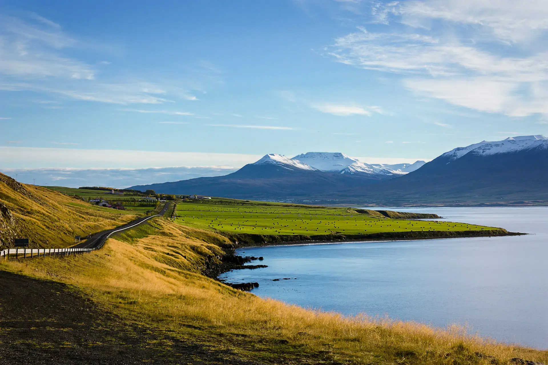
Akureyri stands at the head of Iceland's longest fjord, a town of twenty thousand backed by steep, flat-topped mountains. It is the capital of the north in the way a harbour town is a capital: coloured tin houses, a working quay, and Akureyri Church at the top of a stone stair. Its traffic lights turn red in the shape of a heart, a habit picked up after the country's financial crash and never dropped. Akureyri Botanical Garden grows plants from all over the world just below the Arctic Circle. Beyond the town the scale changes, at Goðafoss, where a chieftain is said to have thrown his pagan idols into the river in the year 1000, and at Dettifoss, the most powerful waterfall in Europe. Around Mývatn the ground steams, through the lava towers of Dimmuborgir and the milky pools of Mývatn Nature Baths. Boats leave Húsavík to find whales in the bay.
Reise-Score
Der Reise-Score im Jahresverlauf.
Januar
AusgezeichnetFebruar
AusgezeichnetMärz
AusgezeichnetApril
Sehr gutMai
GutJuni
MäßigJuli
SchlechtAugust
SchlechtSeptember
GutOktober
AusgezeichnetNovember
AusgezeichnetDezember
Sehr gutAktivitäten
Entdecken Sie die besten Attraktionen in Akureyri und Umgebung
Goðafoss
The 'waterfall of the gods', thirty metres wide, where the lawspeaker Þorgeir is said to have thrown his pagan idols when Iceland converted in the year 1000. It sits on the Ring Road 45 minutes from Akureyri, with a car park and path on each bank.
Mývatn Nature Baths
The northern answer to the Blue Lagoon: a geothermal pool at 36-40°C fed by the Bjarnarflag boreholes, open to the view over Lake Mývatn. An hour's drive from Akureyri, it is markedly cheaper and quieter than its south-western counterpart.
Akureyri Botanical Garden
A municipal botanic garden barely fifty kilometres short of the Arctic Circle, holding almost all of Iceland's native flora beside thousands of foreign species that survive this far north. Entry is free, and it opens only from June to September.
Dettifoss
Europe's most powerful waterfall by volume — 45 metres high and 100 wide, in the canyon of the Jökulsá á Fjöllum, about two hours' drive east of Akureyri. The west bank is reached on the paved road 862; road 864 on the east side is gravel and closes in winter.
Húsavík
A fishing port in north Iceland that has become the base for whale-watching boats on Skjálfandi bay, sailing straight from the quayside. Just over an hour's drive from Akureyri, and places are worth booking ahead.
Glaumbær
An 18th- and 19th-century turf farm preserved in Skagafjörður: thirteen rooms strung along a central passage, showing how Icelanders lived before timber and corrugated iron. It lies about an hour and a quarter west of Akureyri on the Ring Road and opens seasonally.
Einige Texte auf dieser Seite wurden mit KI erstellt und können Fehler enthalten. Bitte prüfen Sie wichtige Angaben.Fotos und Bewertungen von Google Maps